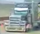
Recently colombian journalist Alexander Campos submitted a request on the Bellingcat Discord server to identify the location of a convoy of trucks carrying wind turbine blades shown in a Facebook video, which can be seen here:
https://web.archive.org/web/20250526164607/https://www.facebook.com/100064060326287/videos/1227863822389050/
The person recording stated the convoy is driving to “Alta Guajira”, the northest point in Colombian geography. Rightfully so there were doubts about this statement.
Clues about the general location
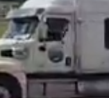
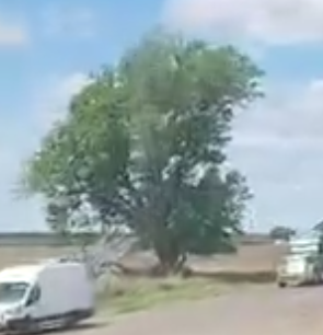
Starting off this geolocation the trucks of the convoy showed clear signs of being American trucks1, using the words “Oversized load”, which is not used in Colombia.
Furthermore, the logo on one of the trucks seems to resemble the logo of the company ATS2.

(Copyright ATSinc https://www.atsinc.com/)
A google search about their trucks and the placement of their logos on it enforces this suspicion:
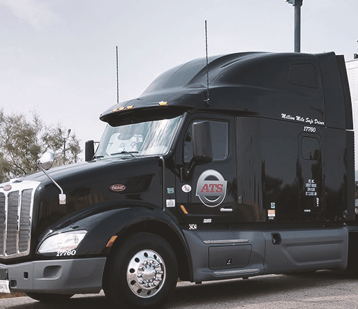
(Copyright ATSinc https://www.atsinc.com/)
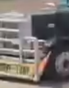
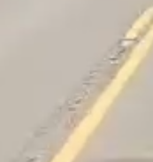
Focussing on the street itself you can see a solid yellow center line with a dashed yellow center line. The road is a two-lane road, which suggests it’s not an interstate but a highway.
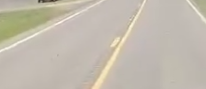
The most important piece of information from the road, though, are the center line rumble strips3. These are a rather new safety feature, producing noise and vibration when driven over to alert drivers of drifting into oncoming traffic.
Important to note is the rumble strips are only installed in the middle of the road, not on the sides. This helps narrowing down which highways to look at.
A google lens search brought up another video4 of the same uploader:
https://web.archive.org/web/20250526164530/https://www.facebook.com/COLOMBIANTRUCKERS/videos/1345053320049608/
In this video he states he is in Cimarron, Kansas.
One more video, stating he is in Pratt, Kansas:
https://web.archive.org/web/20250526152136/https://www.facebook.com/COLOMBIANTRUCKERS/videos/1753537968829680/
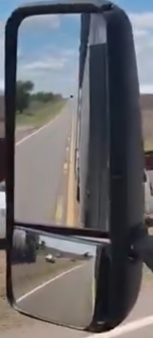
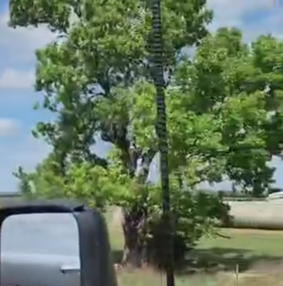
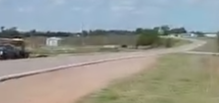
In the original video you can see the road is quite flat ahead and also flat in the rear view mirror, with no mountains in sight:
In the later part of the video when he is turning into some kind of ranch you can see red-ish dirt:
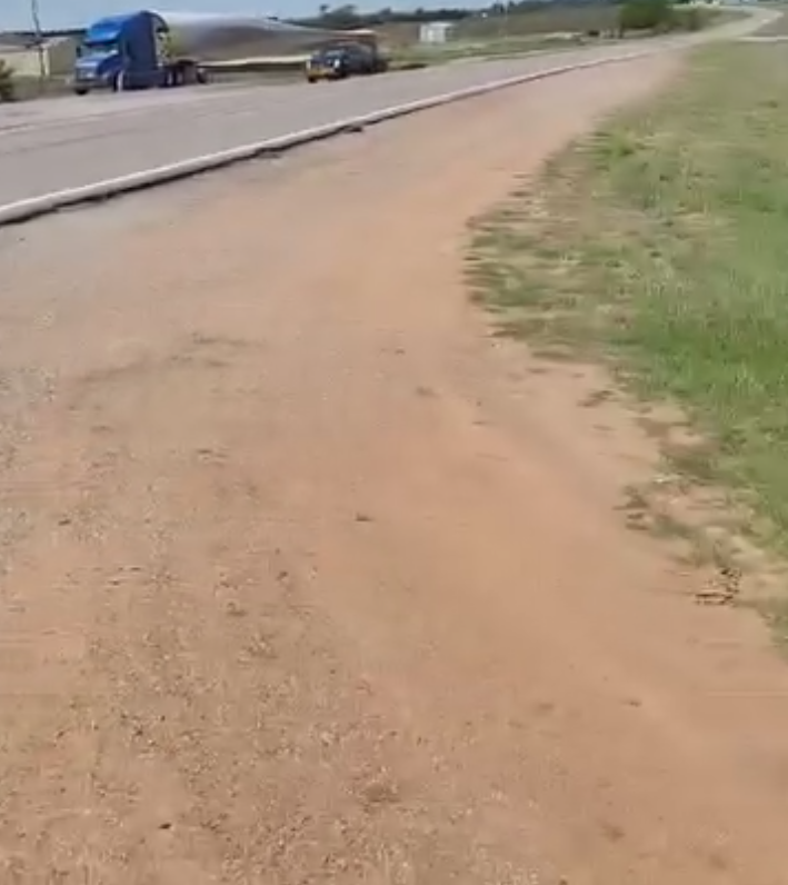
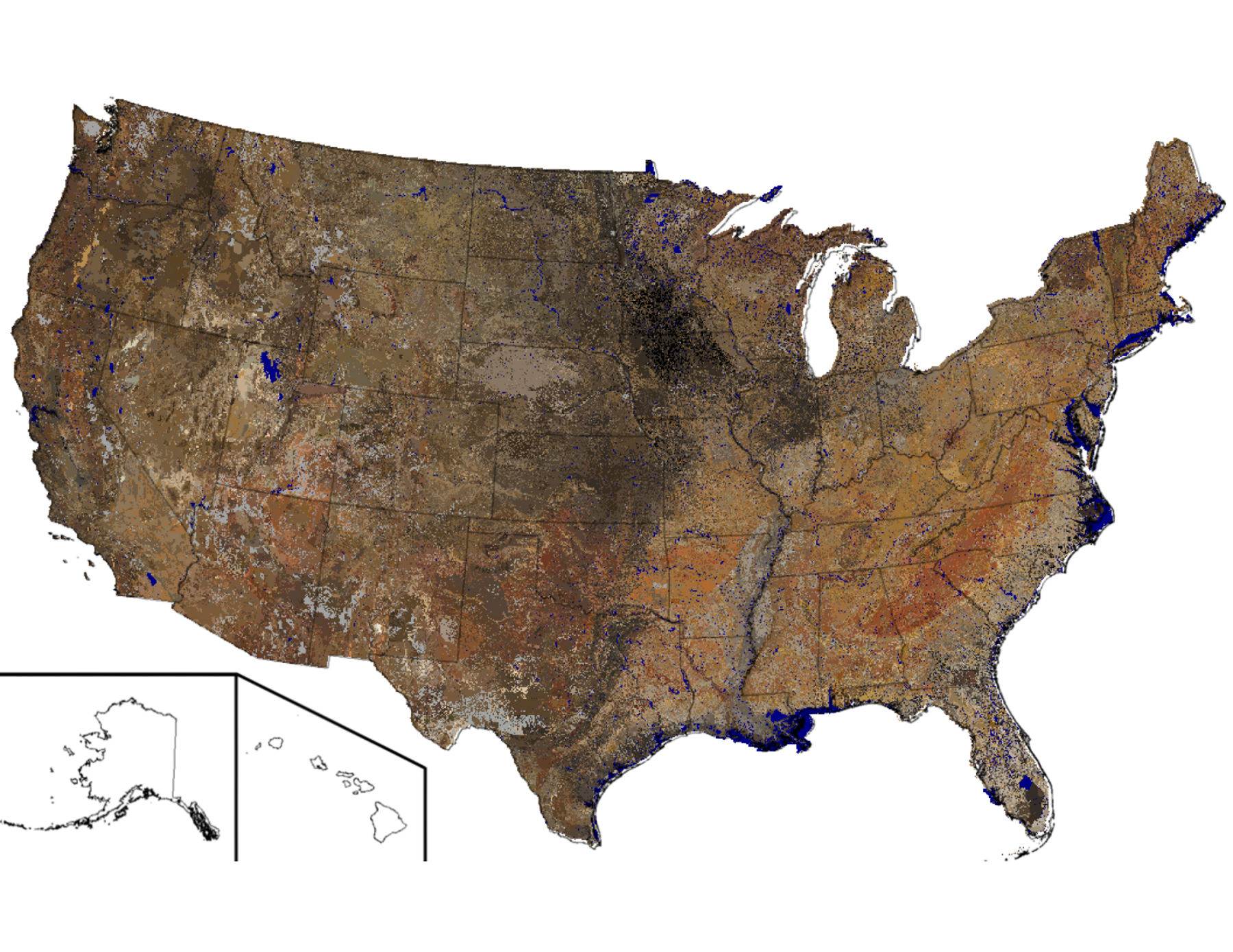
When looking at the following soil map5 of the USA and focussing roughly on Kansas and the surrounding areas, Oklahoma seems to have some darker red soil:
Oklahoma is known for its red dirt due to the presence of iron oxide, which is a result of the oxidation of iron minerals in the soil.6
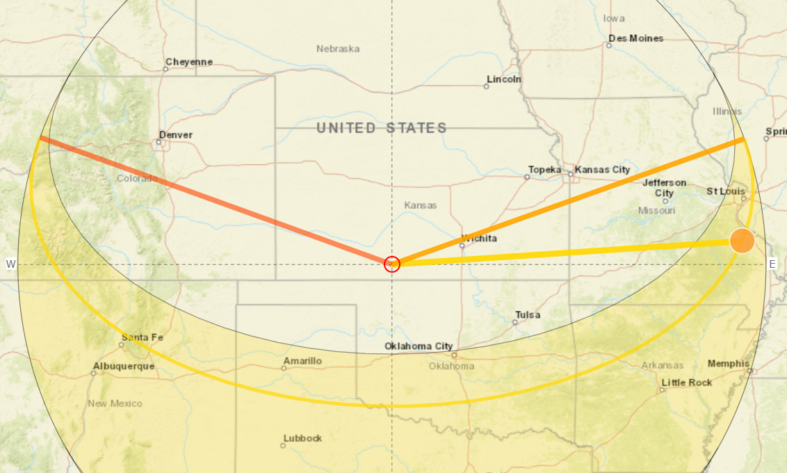
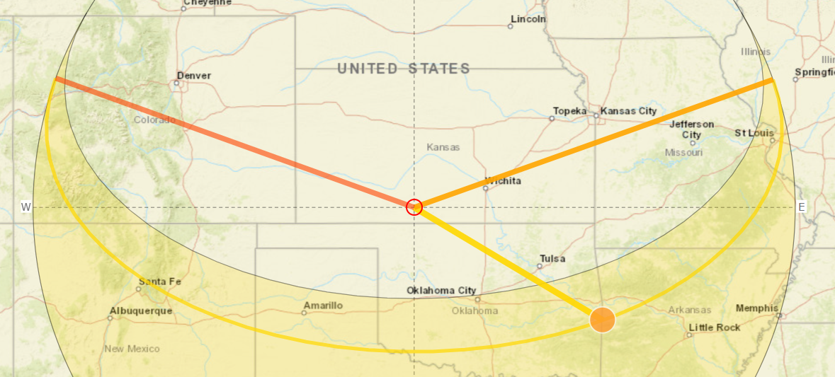
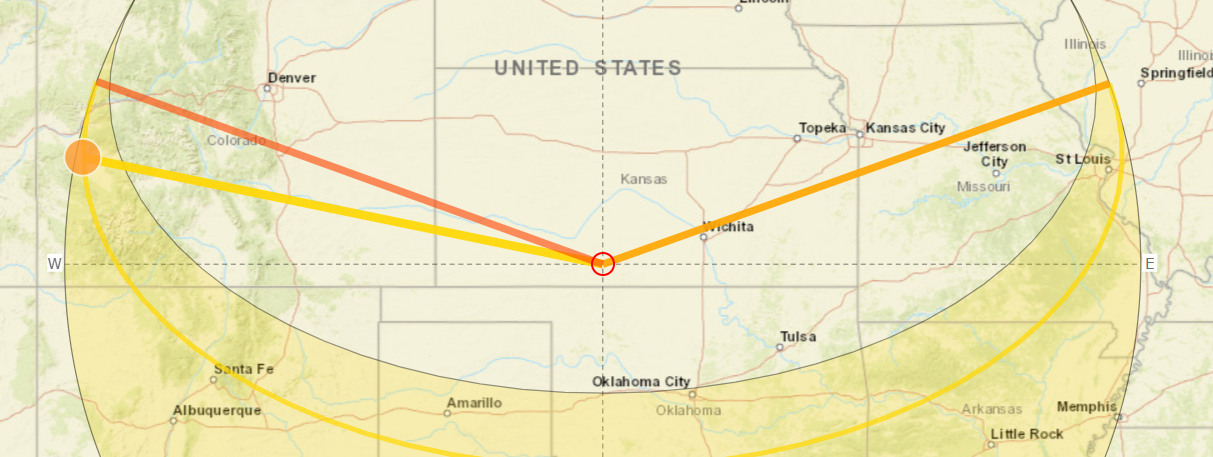
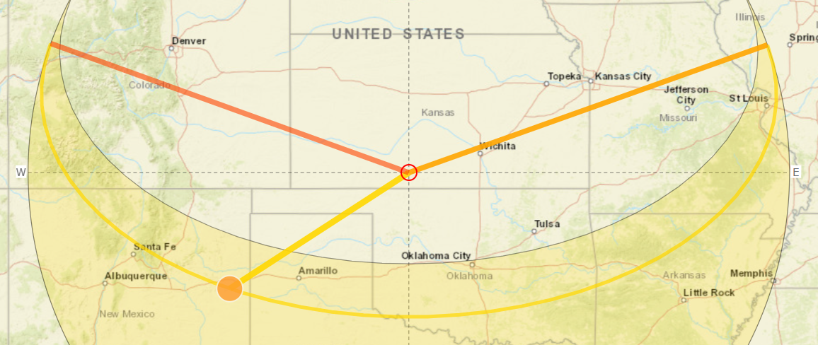
To sum up, this leads us in the general area of southern/southwestern Kansas and northern Oklahoma.
The sun and the shadows
In the following images you can see the shadows of the trees and cars are falling more or less in the direction of travel, or a bit more right than the direction of travel. Because shadow is thrown at all I assume the sun is not culminating.
Using Suncalc, orientating it in southern Kansas / northern Oklahoma and assuming the video was filmed at the end of April / beginning of May 2025 (due to the upload on 7th of May) we can see the culmination of the sun is at 1:35pm. Because the video is well lit up I assume the time of day is either morning to midday or afternoon to evening.
When looking at the position of the sun from 8:30am to 11:30am we can see the sun is shining from the east / southeast, throwing shadows to the west / northwest.
Assuming a time of 3:30pm to 7:30pm shows the sun shining from southwest / west and throwing shade towards northeast / east.
This made me assume the direction of travel is either west to east or east to west, leaning towards east to west because the video is very bright, assuming a time of day in the morning hours.
What to look for?
As stated before, when looking in the rear view mirror in the beginning of the video the area is flat and the road is straight. Looking ahead the road makes a left turn from the direction of travel.
When looking at a lot of roads on google street view I need some outstanding points to fixate on, so it does not take ages. In this case, the long straight with a curve. This rules out a lot of highways in a short time.
Of course, after finding a suitable spot other features come into play: the pullout where the convoy is parked on the other side of the road, the white building behind the convoy, the hay stacks at the end of the video next to what seems to be RVs, the center line rumble strips.
Time spent in Southwest Kansas
Due to mentioning Cimarron and Pratt, Kansas, I focussed on the southwestern part of Kansas first… and spent a lot of time there:
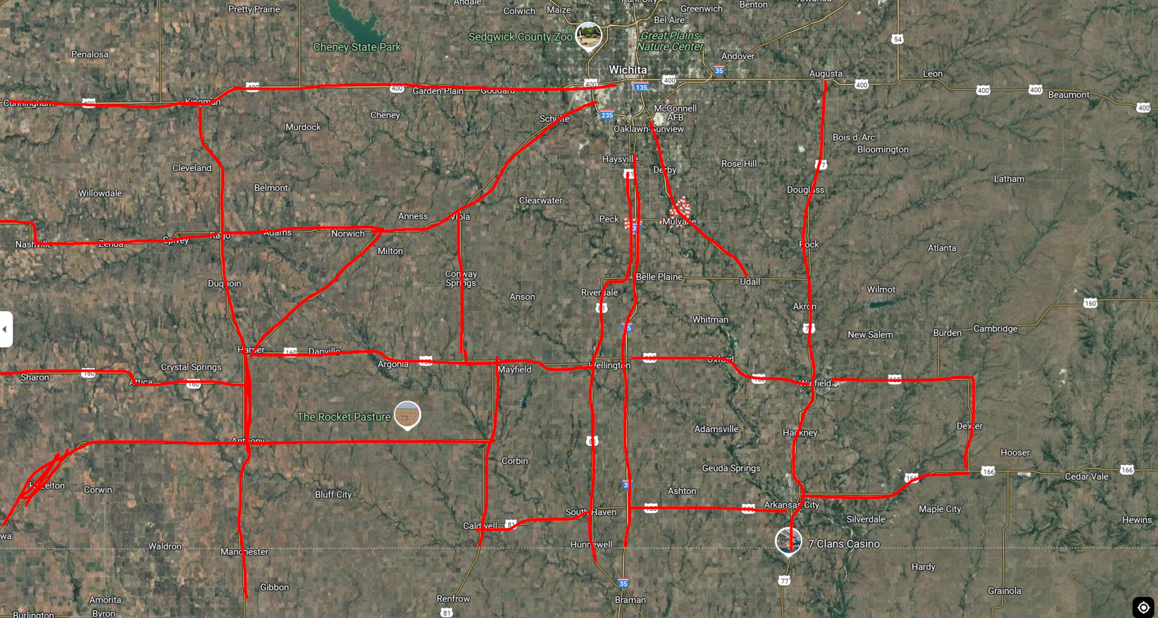
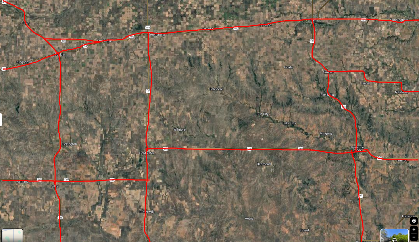
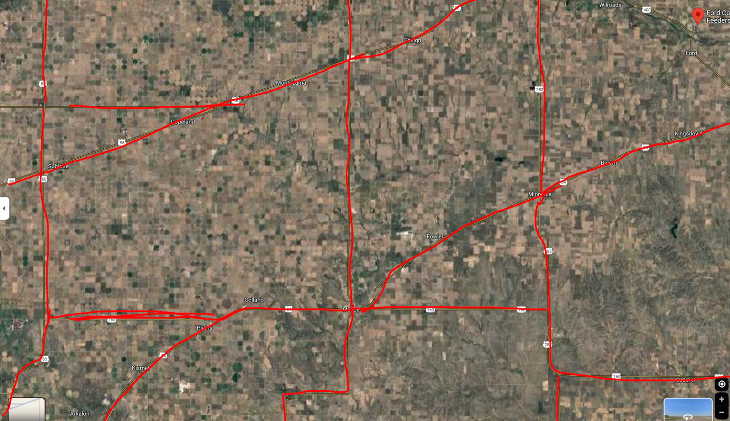
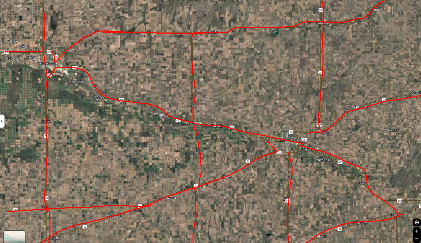
Basically, none of the highways seemed right. If they had center line rumble strips, they had no pullout. If they had a pullout, there were no center line rumble strips…
Assuming the pullout where the convoy parked was some kind of rest area I even went through all the rest areas of Colorado, Texas, Kansas and Oklahoma on https://www.truckstopsandservices.com/ …
The Needle in the Haystack
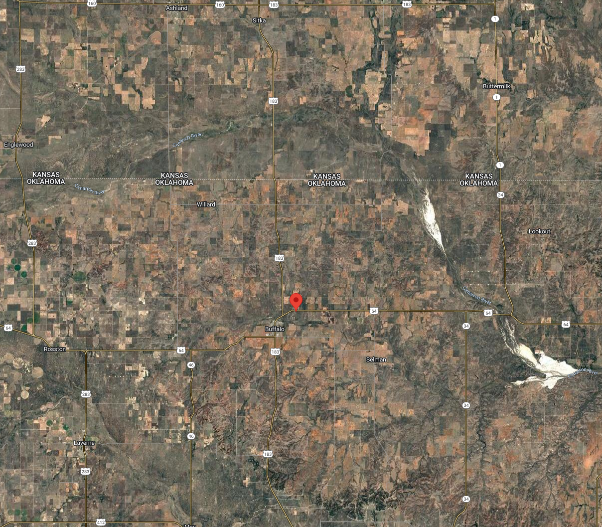
Thanks to a fellow researcher4 who found out that some convoys drive from Clinton, Oklahoma, to Dodge City, Kansas, I started looking again in the Northern part of Oklahoma, just a little more South than I looked before in Kansas… and found it: 36.8559476, -99.6011506
Credits / Footnotes
Acknowledgments go out to all fellow researchers who worked on this case. Without you I could have not found it.